From a casual sunset stroll to a peak-bagging mission, many RVers seek out hiking trails as a part of their camping adventure. If this sounds like you, you’re going to love one of our latest features available to Roadpass Pro Members—the trail map base layer.
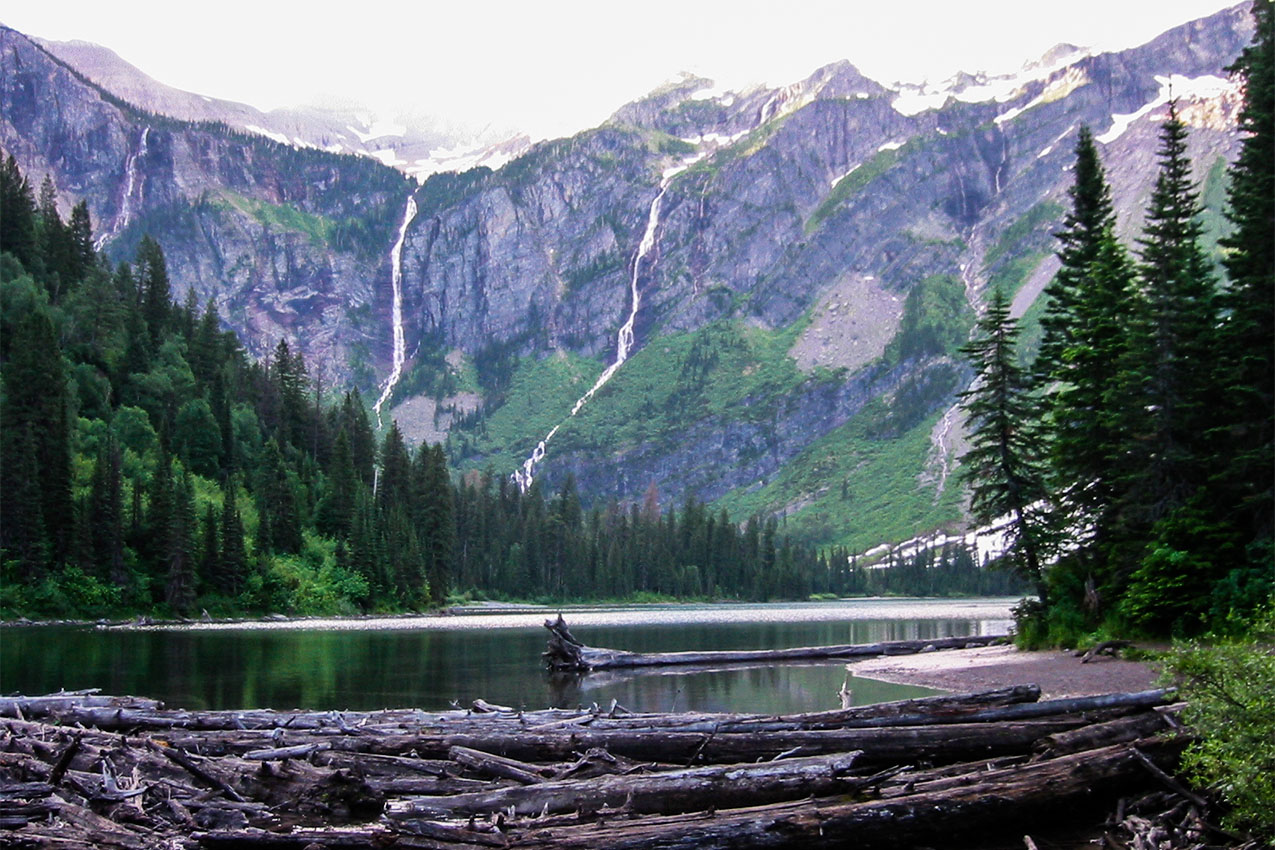
Avalanche Creek | West Glacier, MT – Photo by: wealwaysWAnder
What is the Trail Map Base Layer?
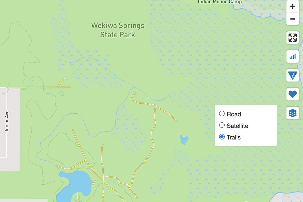
In digital mapping terminology, a “base map” is a fancy name for the baseline features that you can see on any given map. If you are familiar with Google Maps or Apple Maps, you likely have turned on the Satellite or Terrain base maps to see a different view of a familiar location. Similarly, in Campendium, turning on the trail base map means that you can still see roads, natural features, and town names, but you will also see designated hiking trails along with topography and elevation lines.
This base layer is super handy if you’re looking to camp near a trail system, or if you’ve landed in a new-to-you campsite and would like to see which hiking trails may be available nearby. As an added bonus, the elevation markings allow you to narrow in on exact elevations throughout your campground or on the trail, which can help you plan for variables like weather, terrain, and where you might find the best scenery and overlooks.
The Roadpass Pro Member Benefit: Trail Map Base Layer
To turn on the trail map base layer, start by searching for the city, state, or park where you’d like to camp. Then, click the Base Map icon on the right side of the map and select Trails. The icon looks like three sheets of paper stacked on top of each other. Once you select Trails, the map will re-load with a new base layer that includes roads, natural features, and named trails, which are marked with a dotted yellow and orange line. You may need to zoom and scroll to see the name of the trail, depending on its length.
From there, you can turn off and on other overlays and see campsites that you’ve marked as a Favorite. The trail map base layer is currently available on the Campendium website only.
Check Out The Hiking Trails at These Campsites
If taking a wild wander from your campsite is high on your list of priorities, you can’t go wrong with one of these top-rated campgrounds that have easy access to hiking trails.
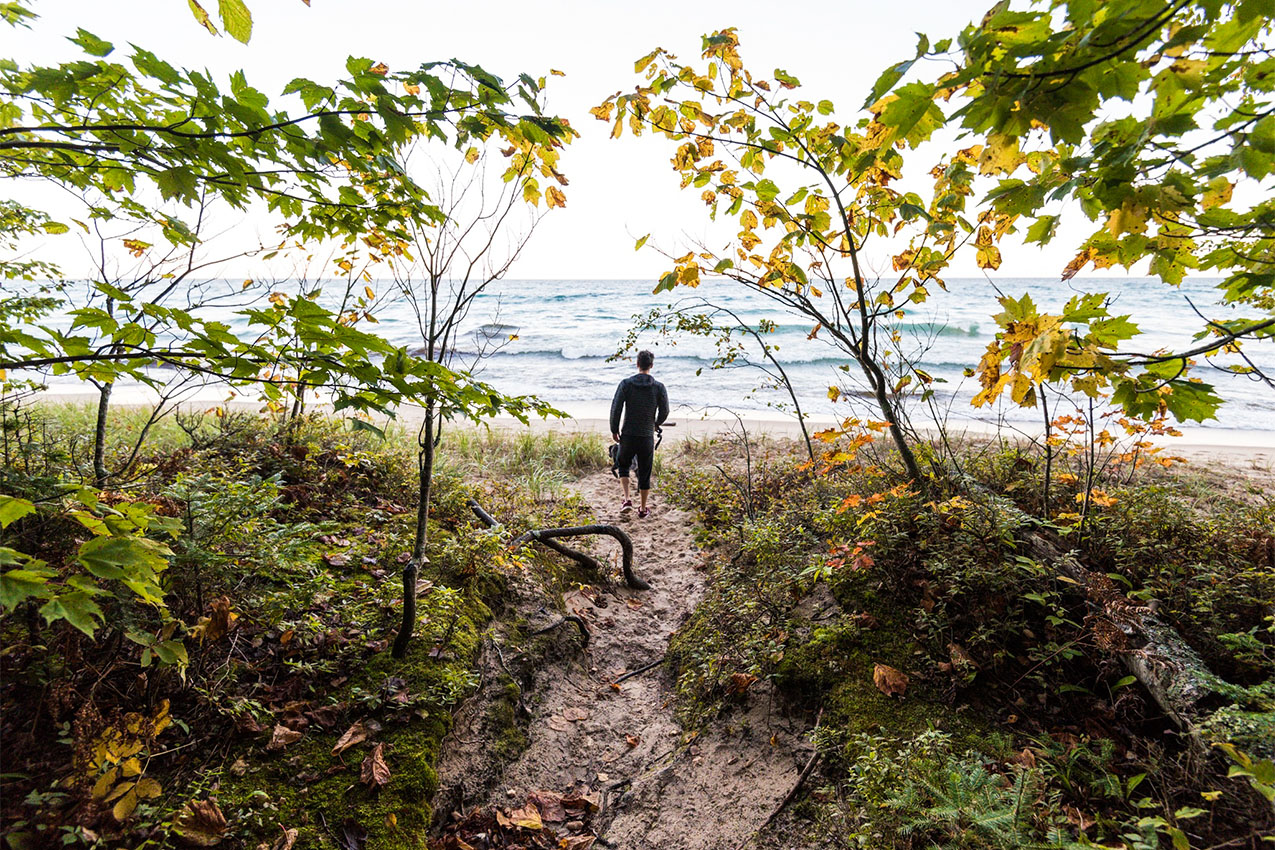
Hurricane River Campground | Seney, MI – Photo by: TigerNomad
Hurricane River Campground, Michigan: Michigan’s beautiful Upper Peninsula is a treat in summer and fall when warm temperatures welcome campers to the quiet shores of Lake Superior’s Pictured Rocks National Lakeshore. Hurricane River and Twelvemile Beach campgrounds are both situated along the North Country National Scenic Trail, 42 miles of which run the length of the park.
Lafayette Place Campground | Franconia, NH – Photo by: bbvanlife
Lafayette Place Campground, New Hampshire: Located in beautiful Franconia Notch, Lafayette Place Campground offers easy access to a number of iconic New Hampshire hiking trails, including the Lonesome Lake Trail and the Mount Lafayette and Franconia Ridge Trail loop.
Wekiwa Springs State Park | Apopka, FL – Photo by: Steve
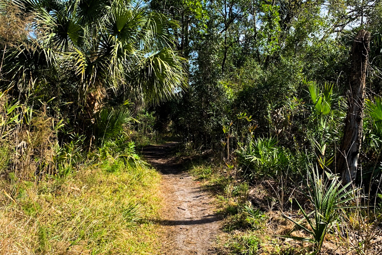
Wekiwa Springs State Park, Florida: The 6-mile Wekiwa Springs Orange Trail is one of the most popular hiking loops in Florida. Hop on the trail directly from Wekiwa Springs State Park campground, which is big rig friendly and offers spacious, clean campsites. There is a swimming area and boat launch nearby, too!
Pine Springs Campground | Pine Springs, TX – Photo by: Van-Tramp
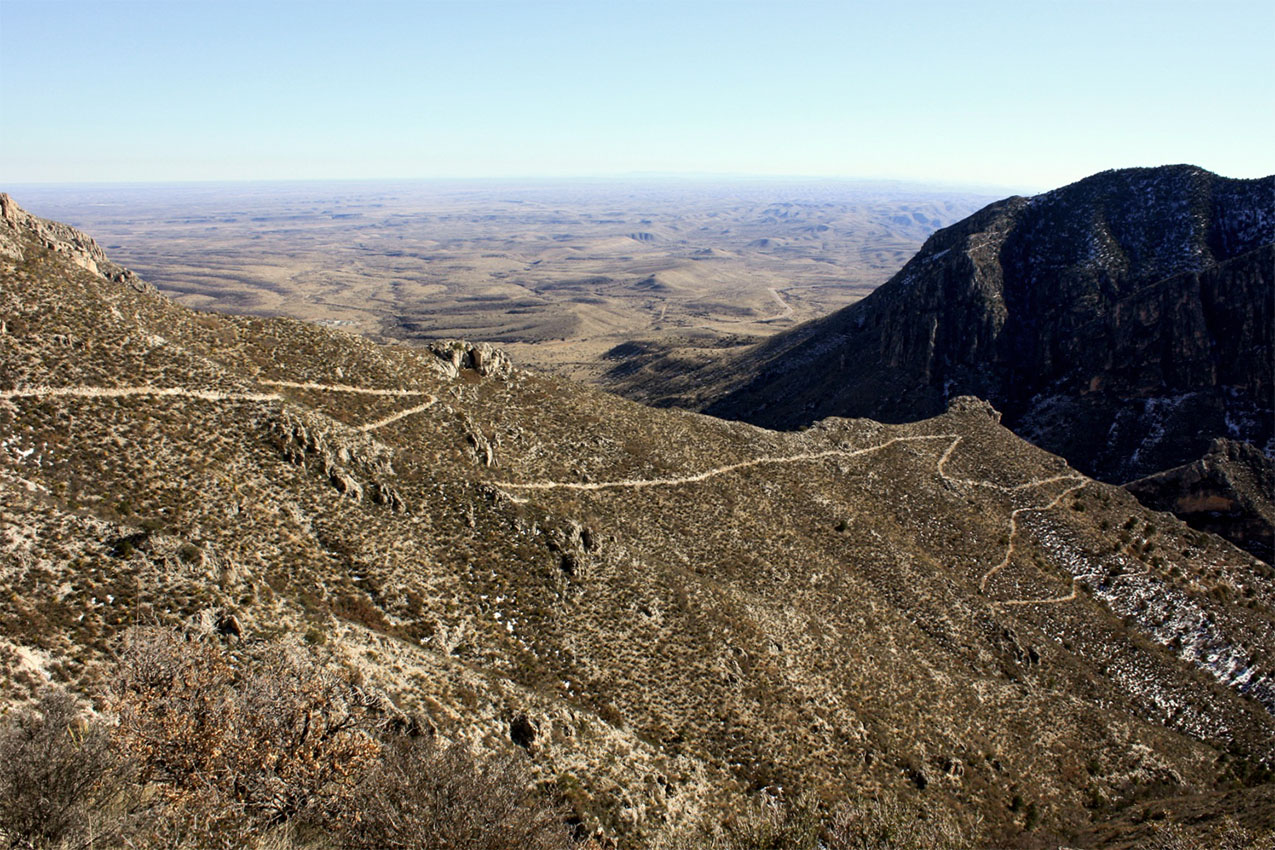
Pine Springs Campground, Texas: See some of the best of Guadalupe Mountains National Park with a hike on the Devil’s Hall Trail. This 3.6-mile out-and-back trail features stunning vistas of the rugged Guadalupe Mountains and leaves from the Pine Springs Campground.
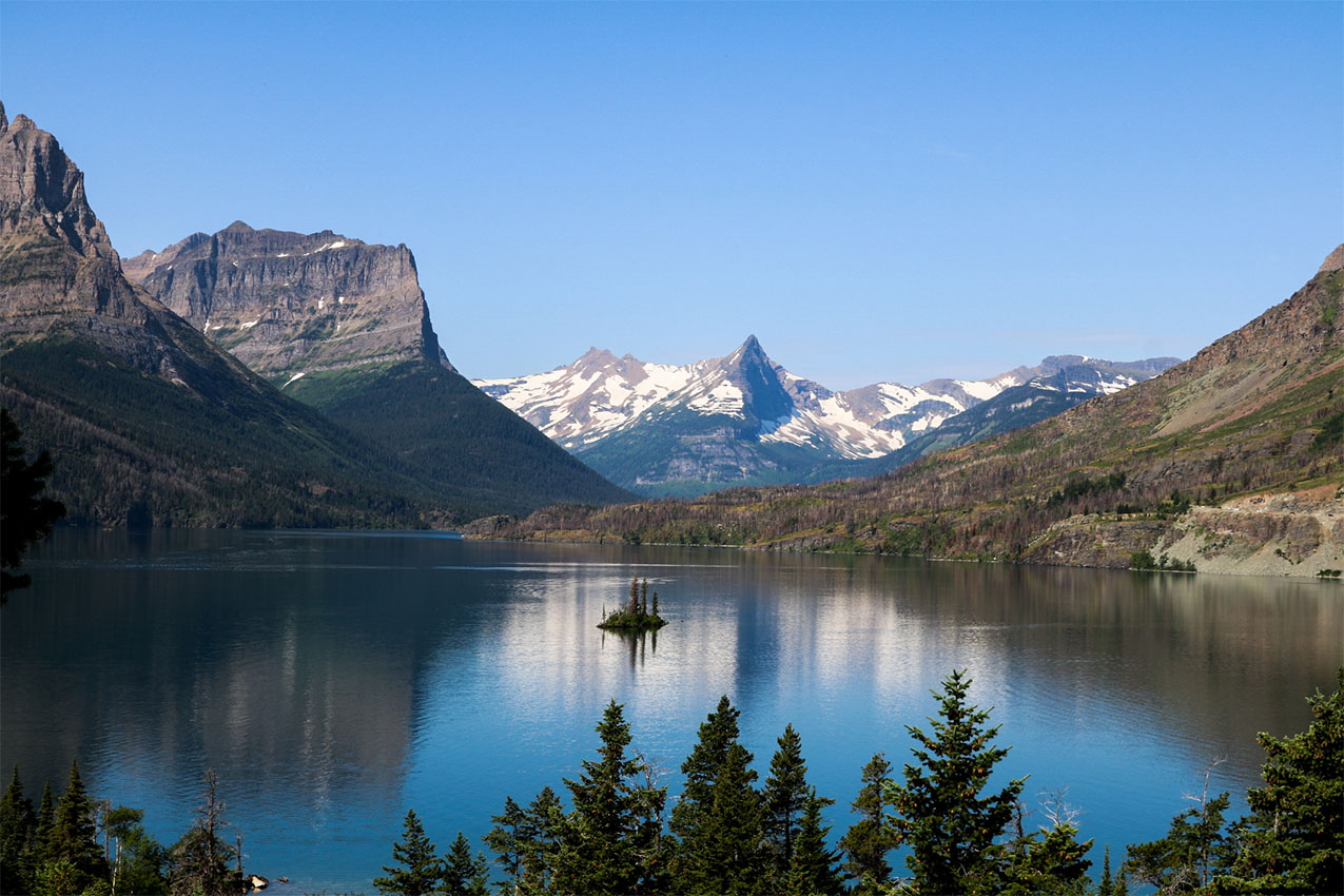
Avalanche Creek | West Glacier, MT – Photo by: wealwaysWAnder
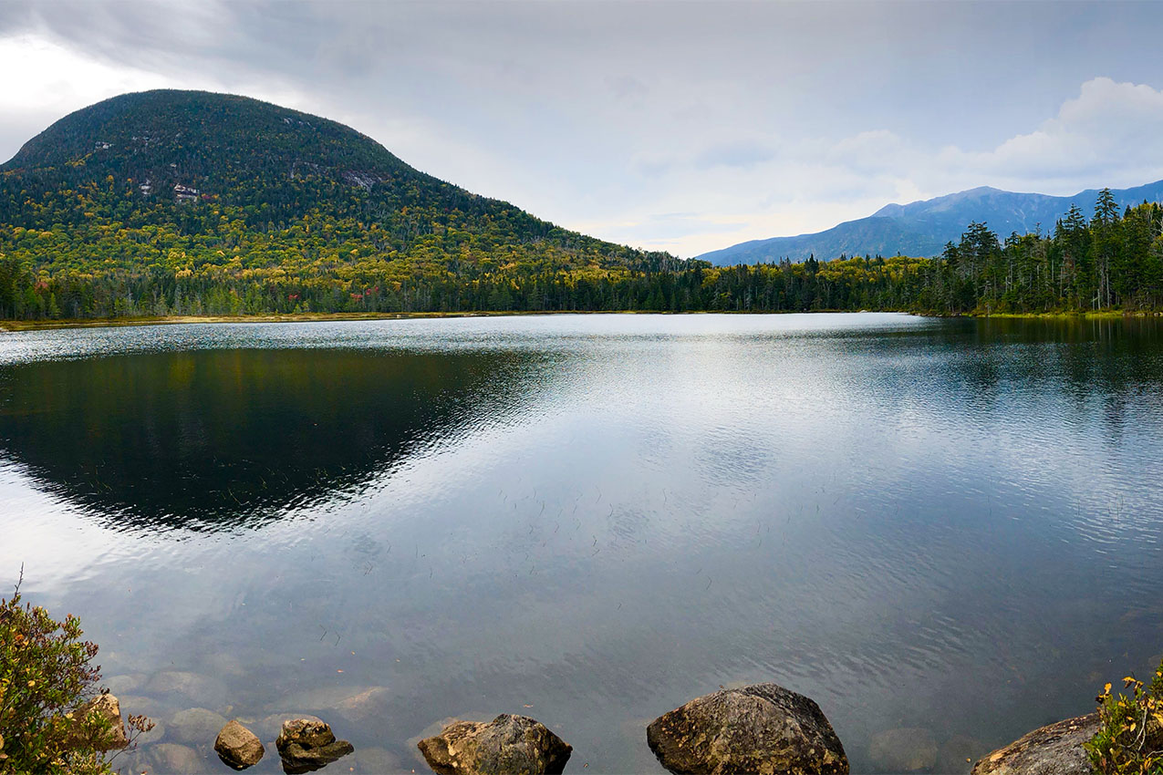
Avalanche Creek Campground, Montana: Pick up the Trail of the Cedars from Avalanche Creek Campground and climb through the trees to the gorgeous turquoise waters of Avalanche Lake. This iconic trail is a favorite in Glacier National Park.
Want to unlock perks like the trail map base layer? Become a Roadpass Pro Member today!